Bennelong have MapRun in 5 areas. MapRun is an orienteering activity, using your phone to register your visit at controls (check points). If you're ready to run, click on the image below to download maps and read about each area. You can read more detail on MapRun further down this page.


Safety is important
These orienteering courses are provided for your recreation and enjoyment, offering an important boost to your physical and mental well-being during these challenging COVID restrictions. Bennelong cannot provide any support or assistance during your MapRun, Bennelong takes no responsibility for any injury or misadventure, you undertake the MapRun at your own risk. Please take a mobile phone with you, and, tell someone where you're going and what time you'll be back. In an emergency, please call 000.
What is MapRun?
MapRun is a phone App designed for orienteering – various courses are available for you to run or walk whenever you like.
Typically, the control location does not have a flag or control unit, but the App registers your visit based on your location from your phone's GPS signal.
MapRun website: https://maprunners.weebly.com/
Bennelong have courses at 5 locations, visit the pages below to read more and download the maps:
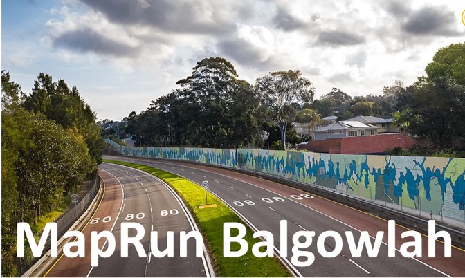
- Balgowlah
- Georges Heights
- Gordon
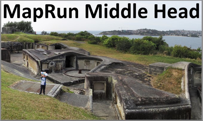
- Middle Head
- Seaforth

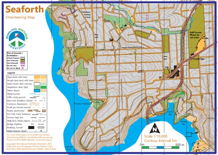

Each location has a range of courses available, starting with an easy introduction of about 1km, then more options of longer distances and some courses are more challenging with indistinct tracks or harder checkpoint sites to navigate to.
What do you need?
Please take a mobile phone with you. You can use the phone to call 000 in an emergency.
Please tell someone where you're going, and roughly the time you'll be back, so they can call for a rescue if you don't return.
You need to download the MapRun App to your phone.
You can download a PDF map from this website and print, or, you can navigate using your phone.
You just need to wear exercise gear, appropriate to the weather conditions.
How do I find the course on MapRun?
Go to the "Select Event" button. Navigate through the folders: NSW – Sydney –

What if your phone doesn't buzz at a checkpoint?
Don't worry, we can use the HITIMO function to register the checkpoint. HITIMO = Hey, I think I missed one. The option is available in the App, you can submit an adjustment to your result.
In the image below, the runner followed the pink line between checkpoints, however, the phone GPS placed the runner 10-20m further north the whole time. Consequently, the phone didn't register a visit to checkpoint #6, the closest the phone thought it got to #6 was 15.86 metres away even though the runner touched the feature. The HITIMO function allows the runner to submit a revision with an increased distance tolerance of 20m (or more, use the drop-down menu).

More info will follow soon.