Bennelong's new Middle Head Sprint map is now live on the MapRun app. There are a few courses, the maps and reference info can be found here.
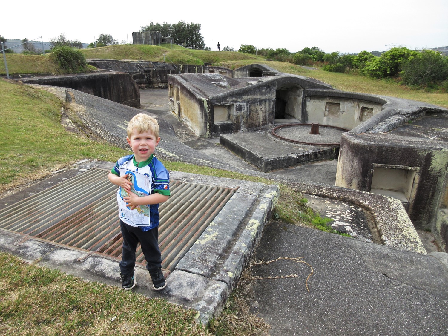
Each course visits key areas of natural beauty and historical importance e.g. each course visits the Outer Fort (image above) for a fast and frenzied tour.

The area was initially mapped by Andy Hill for the NSW Stingers to host events in 2015 and 2016. Andy very kindly offered the map to Bennelong. The Bennelong version of the map has been created from scratch, georeferenced with the latest NSW government geospatial data, and uses the current (2019) sprint symbol set.
There are 4 key focal areas of the map: Outer fort (image above), Inner Fort, Obelisk Beach maze, and the ASOPA buildings.